Report Date: Fri. December 30, 2011
Surf Zone Forecast
National Weather Service- Honolulu, HI
HIGH SURF ADVISORY FOR NORTH AND WEST FACING SHORES,
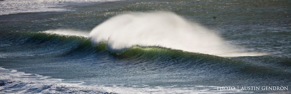
Surf along north facing shores will be 15 to 20 feet through Sunday night, lowering to heights of 12 to 16 feet Monday.
Surf along west facing shores will be 10 to 15 feet through Sunday night, dropping to heights of 8 to 12 feet Monday.
Surf along east facing shores will be 3 to 5 ft with locally higher sets through Monday.
Surf along south facing shores will remain 1 to 3 ft through Monday.
Outlook through Saturday Jan 14: a pair of advisory level northwest swells is expected during the coming week. The first arriving Monday night followed by a second on Wednesday. No other significant swells are expected.
Surf heights are forecast heights of the face or front of waves. The surf forecast is based on the significant wave height, the average height of the one third largest waves, in the zone of maximum refraction. Some waves may be more than twice as high as the significant wave height. Expect to encounter rip currents in or near any surf zone.
Collaborative Nearshore Forecast for Oahu
NWS/NCDDC- Honolulu, HI
This collaborative forecast will be updated Monday through Friday at 300 pm when Pat Caldwell is available. When Pat Caldwell is not available, the latest collaborative forecast will remain posted for 4 days.
Surf heights will vary between different beaches and at the same beach at different break areas.
Summary: typical January surf hovering around the high mark most days.
Detailed: mid Thursday on northern shores has declining, high surf from 310-360 degrees, centered on 330 degrees. Moderate surf is expected on Friday.
The source of the recent extra-large to marginally giant surf tracked across the breadth of the north Pacific 12/31 - 1/4 giving a wide range in swell direction. As the center of low pressure approached the gulf of Alaska to the east of the longitude of Oahu, about 24 hours of severe gales covered a wide, long fetch over the 350-020 degree band. Long period forerunners of 16-18 seconds have been on the rise at buoy 51101 and the Waimea buoy late morning Thursday 1/5. This n-component reinforcement should become the dominant direction by Friday 1/6 as the 310-350 degree energy fades toward small levels. This N episode should be short-lived, dropping to small heights on Saturday.
Further west, a hurricane-force low pressure formed just east of northern Japan on 1/2, holding into 1/4, then weakening. The system was occluded so the center was nearly stationary. Wave models estimated an area of seas well over 30 feet in the 300-310 degree band on 1/3 beyond 2100 nm away. Long-period forerunners of 19-21 seconds from this source are expected Friday afternoon. This episode is expected to peak on Saturday in the moderate to marginally high bracket, then slowly drop to moderate levels on Sunday as a new episode builds.
A low pressure is gaining strength just west of the dateline near 40°N on Thursday 1/5. Models show the center tracking NE to the gulf of Alaska, passing north of Hawaii Friday night. Gales to storm-force winds are predicted over the 305-320 degree band for late Thursday into Friday, and the 320-350 degree band for late Friday into Saturday. This should give way to a high surf episode, building Sunday afternoon from 305-320 degrees, peaking Sunday night, and dropping on Monday from within 305-350 degrees, centered on 330 degrees. Heights should fall below the high level by late Monday.
Models show another low pressure deepening near the dateline on Sunday that could bring moderate to high surf by late Tuesday from 305-320 degrees.
Mid Thursday on eastern shores has small breakers under moderate trades. Locations with northerly exposure have higher breakers. Heights should stay above the average for northerly exposures into Saturday morning.
See the latest NWS state weather forecast discussion for details on the winds. Models suggest a minimum to the trades for Saturday into Sunday, otherwise, steady moderate breezes with small breakers from within 60-90 degrees.
Mid Thursday on southern shores has tiny to small breakers from long-period southern hemisphere swell. It was generated by a low pressure that tracked from the southern Tasman sea 12/26 to SE of New Zealand 12/28. This episode could last another day from within 180-210 degrees.
Into the long range, another low pressure tracked SE of New Zealand 1/1-3, though of magnitude was below the threshold to make surf locally much beyond tiny for 1/10-12 out of 180-200 degrees.
In the northern hemisphere, moderate to marginally high surf peaking Tuesday night 1/10 from NNW holding near high into Wednesday. Models suggest potential for a short-period N to NE episode for weekend of 1/14 that could have surf approach the high levels relative to east side standards on select north facing exposures.
Long range forecasts are subject to major revisions.
This collaborative forecast will resume on Monday, January 9.
This forecast was produced through the collaborative efforts of NWS Forecaster and Pat Caldwell, Pacific/Hawaii Liaison Office, NCDDC